Aprašymas
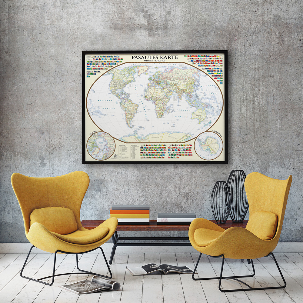
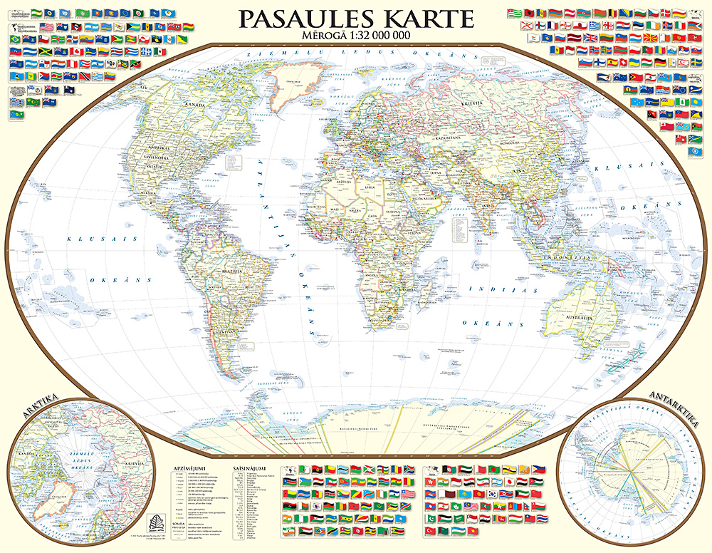
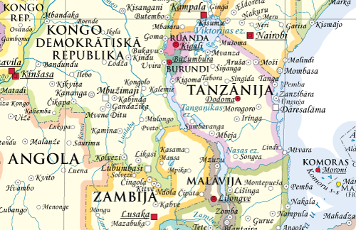
Political map of contemporary world in style of early 20 th century.
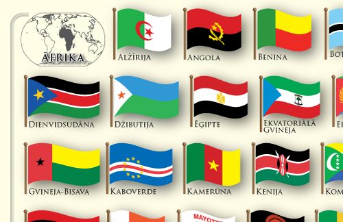
It includes “flying” flags of all countries, dependencies and territories as well as those of international organisations. Maps of the Arctic and Antarctic are enclosed.
Map in this size is printed on paper. If you would like this map in another size or another material, for additional information please call +371 67317540 or write to kartes@kartes.lv!


